
Trails Less Travelled
From family-friendly walks to challenging summit climbs, our 500 miles of diverse trails – complete with waterfalls and wildflowers – showcase Southern California’s natural splendor.


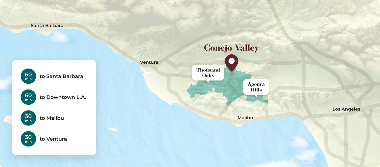
Conejo Valley Trails Map
Where should you begin your Conejo Valley hiking adventure? Our trails are as diverse as our Southern California plants and wildlife. Whether you’re bringing your dog, your horse, your bike or your children, or simply looking for the best views of the iconic Golden State coastline, we’ve got you covered.
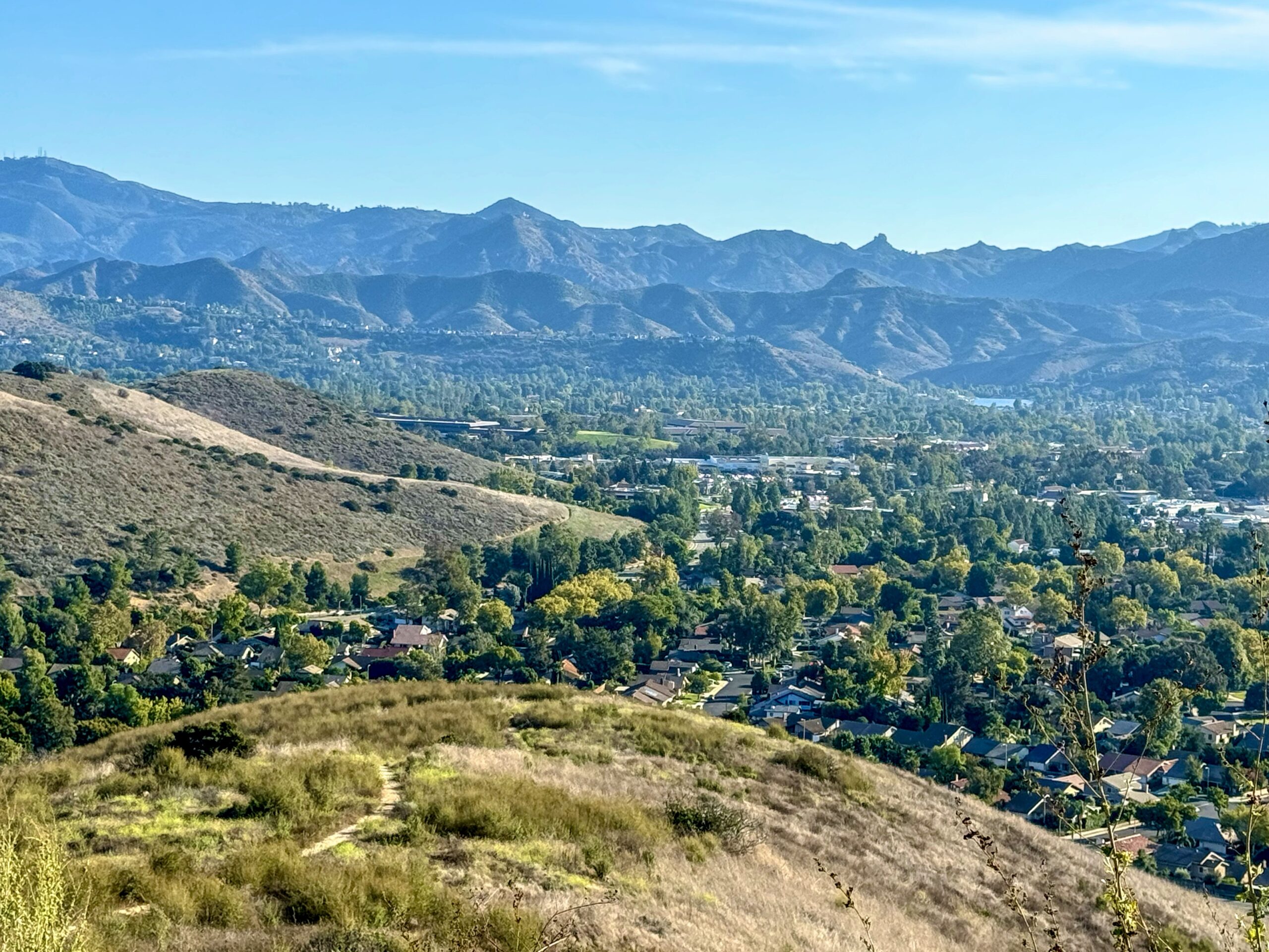
Newbury Park
- Distance: 8.8 mile out & back
- Elevation Change: 2,001 ft
- Difficulty: Moderate
- Trailhead Start: Newbury Park
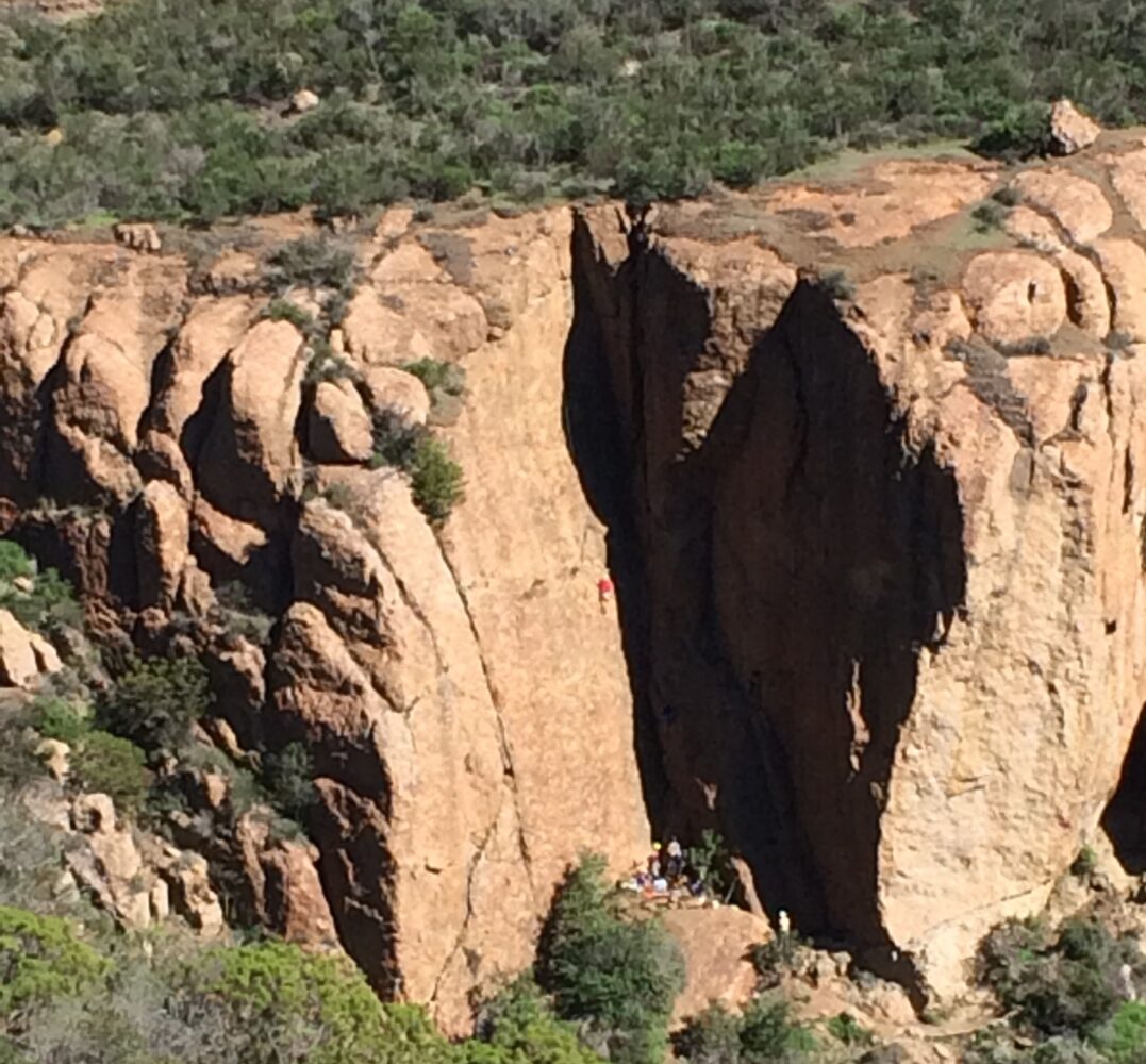
Thousand Oaks
- Distance: 4.7 mile out & back
- Elevation Change: 1,463 ft
- Difficulty: Moderate
- Trailhead Start: Thousand Oaks
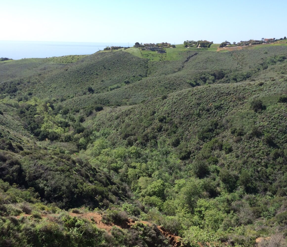
Malibu
- Distance: 6.8 mile loop
- Elevation Change: 1,692 ft
- Difficulty: Moderate
- Trailhead Start: Malibu
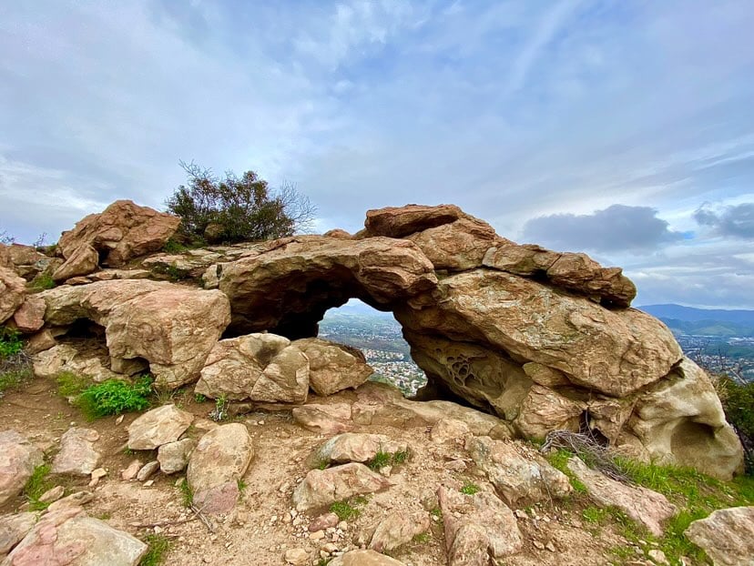
Malibu
- Distance: 3.7 miles out & back
- Elevation Change: 534 ft
- Difficulty: Easy
- Trailhead Start: Malibu
Thousand Oaks
- Distance: 3.7 mile loop
- Elevation change: 1,030 ft
- Difficulty: Moderate
- Trailhead Start: Oak Park
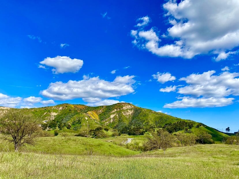
Thousand Oaks
- Distance: 2.4 mile loop
- Elevation change: 426 ft
- Difficulty: Easy
- Trailhead Start: Thousand Oaks